Fichier:NZ-Northland plain map2.png
Pas de plus haute résolution disponible.
NZ-Northland_plain_map2.png (378 × 423 pixels, taille du fichier : 12 kio, type MIME : image/png)
Ce fichier et sa description proviennent de Wikimedia Commons.

|
Cette image (de type locator map) devrait être recréée dans un format vectoriel, en tant que fichier SVG. Cela offrirait plusieurs avantages : voir Commons:Media for cleanup pour plus d'informations. Si une version SVG de cette image est déjà disponible, merci de bien vouloir l'envoyer. Après cela, remplacez ce modèle par {{vector version available|nouveau nom d'image.svg}}.
|
Description
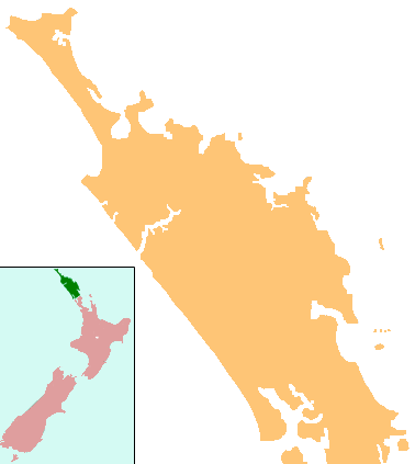
| Description | Locator map for Northland, New Zealand |
| Date | |
| Source | combination of Image:NZ-NI plain map.png and Image:Position of Northland.png |
| Auteur | Grutness, based on work by User:Gadfium |
| Autorisation (Réutilisation de ce fichier) |
public domain. Copied from en:Image:NZ-Northland plain map2.png |
| Autres versions | Earlier version is at Image:NZ-Northland_plain_map.png |
Conditions d’utilisation
| Cette œuvre a été placée dans le domaine public par son auteur, Grutness. Ceci s’applique dans le monde entier. Dans certains pays, ceci peut ne pas être possible ; dans ce cas : |
Historique du fichier
Cliquer sur une date et heure pour voir le fichier tel qu'il était à ce moment-là.
| Date et heure | Vignette | Dimensions | Utilisateur | Commentaire | |
|---|---|---|---|---|---|
| actuel | 17 avril 2008 à 01:08 | | 378 × 423 (12 kio) | Gadfium | {{Information |Description=Locator map for Northland, New Zealand |Source=combination of Image:NZ-NI plain map.png and Image:Position of Northland.png |Date=17 March 2008 |Author=Grutness, based on work by User:Gadfium |Permission=public dom |
Utilisation du fichier
La page suivante utilise ce fichier :
Usage global du fichier
Les autres wikis suivants utilisent ce fichier :
- Utilisation sur ar.wikipedia.org
- Utilisation sur ceb.wikipedia.org
- Utilisation sur en.wikipedia.org
- Whangārei
- Lake Ōmāpere
- Whangarei Airport
- Kaitaia Airport
- Rangiahua
- Kerikeri Airport
- List of schools in the Northland Region
- Taurikura
- Mount Manaia
- Mangamuka
- Matihetihe
- Omanaia
- Oromahoe
- Whirinaki, Northland
- Whangape Harbour
- Whangaroa Harbour
- Umawera
- Aranga, New Zealand
- Arapohue
- Kaihu
- Pouto Peninsula
- Module:Location map/data/New Zealand Northland/doc
- Kokopu, New Zealand
- Titoki, New Zealand
- Pakotai
- Poroti
- Purua
- Tauraroa
- Waiotira
- Whananaki
- Otiria
- Ōruawharo River
- Topuni River
- Bulrush Lake (Northland)
- Half Mile Lagoon
- Lake Half
- Lake Humuhumu
- Lake Kahuparere
- Lake Kaiwai
- Lake Kanono
- Lake Kapoai
- Lake Karaka
- Lake Karoro / Mathews
- Lake Kihona
- Lake Manuwai
- Lake Mokeno
Voir davantage sur l’utilisation globale de ce fichier.