Fichier:Mexico watersheds.jpg
Taille de cet aperçu : 800 × 572 pixels. Autres résolutions : 320 × 229 pixels | 640 × 457 pixels | 886 × 633 pixels.
Fichier d’origine (886 × 633 pixels, taille du fichier : 250 kio, type MIME : image/jpeg)
Ce fichier et sa description proviennent de Wikimedia Commons.
Description
| Description |
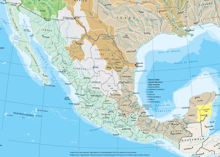
English: Section of the map "Watersheds", from the US Department of Interior's National Atlas of the United States |
| Source | |
| Auteur |
Conditions d’utilisation
Ce média est dans le domaine public des États-Unis d’Amérique car son auteur est l’administration américaine comme précisé dans le code fédéral au Titre 17, Chapitre 1, Section 105. Pour en savoir plus : droit d’auteur.
Attention : Ceci ne concerne que le travail du Gouvernement Fédéral et pas celui des États, ou d’une autre subdivision géographique ou politique du pays.
|
 | |
| Ce fichier a été identifié comme étant exempt de restrictions connues liées au droit d’auteur, y compris tous les droits connexes et voisins. | ||
Journal des téléversements d’origine
La page de description originale était ici. Tous les noms d'utilisateur qui suivent se rapportent à en.wikipedia.
- 2007-08-07 06:05 Tom Radulovich 886×633×8 (255535 bytes) Section of the map "Watersheds", from the US Department of Interior's National Atlas of the United States
Historique du fichier
Cliquer sur une date et heure pour voir le fichier tel qu'il était à ce moment-là.
| Date et heure | Vignette | Dimensions | Utilisateur | Commentaire | |
|---|---|---|---|---|---|
| actuel | 21 juillet 2008 à 16:43 | | 886 × 633 (250 kio) | Monfornot | {{Information |Description={{en|Section of the map "Watersheds", from the US Department of Interior's National Atlas of the United States}} |Source=Transferred from [http://en.wikipedia.org en.wikipedia] |Date=2007-08-07 (original upload date) |Author=Ori |
Utilisation du fichier
La page suivante utilise ce fichier :
Usage global du fichier
Les autres wikis suivants utilisent ce fichier :
- Utilisation sur ast.wikipedia.org
- Utilisation sur bg.wikipedia.org
- Utilisation sur en.wikipedia.org
- Utilisation sur es.wikipedia.org
- Utilisation sur es.wikibooks.org
- Utilisation sur hy.wikipedia.org
- Utilisation sur pt.wikipedia.org
- Utilisation sur ru.wikipedia.org
- Utilisation sur sh.wikipedia.org
- Utilisation sur sr.wikipedia.org
- Utilisation sur uk.wikipedia.org