Fichier:Lochaber UK relief location map.jpg

Taille de cet aperçu : 800 × 501 pixels. Autres résolutions : 320 × 200 pixels | 640 × 401 pixels | 1 024 × 641 pixels | 1 280 × 802 pixels | 2 001 × 1 253 pixels.
Fichier d’origine (2 001 × 1 253 pixels, taille du fichier : 532 kio, type MIME : image/jpeg)
Ce fichier et sa description proviennent de Wikimedia Commons.
| Description |
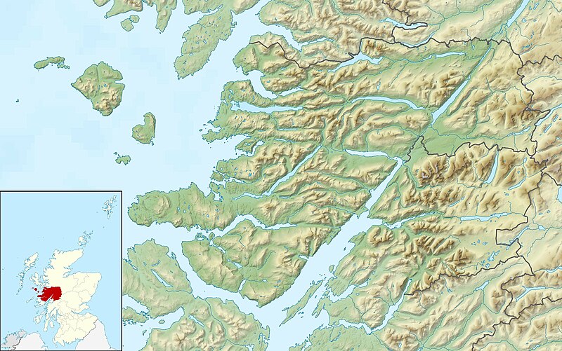
Relief map of Lochaber, UK. Equirectangular map projection on WGS 84 datum, with N/S stretched 180% Geographic limits:
|
| Date | |
| Source |
|
| Auteur | Nilfanion, created using Ordnance Survey data |
| Autorisation (Réutilisation de ce fichier) |
Ce fichier est disponible selon les termes de la licence Creative Commons Attribution – Partage dans les Mêmes Conditions 3.0 (non transposée). Attribution: Contains Ordnance Survey data © Crown copyright and database right
|
| Autres versions | File:Lochaber UK blank map.svg - Blank map |
Historique du fichier
Cliquer sur une date et heure pour voir le fichier tel qu'il était à ce moment-là.
| Date et heure | Vignette | Dimensions | Utilisateur | Commentaire | |
|---|---|---|---|---|---|
| actuel | 17 décembre 2011 à 02:29 | | 2 001 × 1 253 (532 kio) | Nilfanion | {{Information |Description=Relief map of Lochaber, UK. Equirectangular map projection on WGS 84 datum, with N/S stretched 180% Geographic limits: *West: 6.75W *East: 4.45W *North: 57.20N *South: 56.40N |Source=[[w:Ordnance Survey|Ordnanc |
Utilisation du fichier
La page suivante utilise ce fichier :
Usage global du fichier
Les autres wikis suivants utilisent ce fichier :
- Utilisation sur ar.wikipedia.org
- Utilisation sur ceb.wikipedia.org
- Utilisation sur cs.wikipedia.org
- Utilisation sur en.wikipedia.org
- Rùm
- Canna, Scotland
- Muck, Scotland
- Eigg
- Sanday, Inner Hebrides
- Loch Morar
- Eilean Chathastail
- Castle Tioram
- Loch Ossian
- An Gearanach
- Glen Roy
- Eilean Shona
- Ardtornish
- Loch Sunart
- River Garry, Inverness-shire
- Module:Location map/data/Scotland Lochaber/doc
- Kentra Bay
- Ariundle Oakwood
- Loch Bà (Rannoch Moor)
- Loch Achtriochtan
- Loch Buidhe (Rannoch Moor)
- Glenborrodale Bay
- Glenmore Bay
- Loch Arienas
- River Spean
- River Lochy
- Ardtornish Bay
- Module:Location map/data/Scotland Lochaber
- Sandaig Bay
- Lochan na Stainge
- Inverie Bay
- Loch Beoraid
- Loch an Nostarie
- Loch a' Ghille Ghobaich
- Loch na Bairness
- Utilisation sur ja.wikipedia.org
- Utilisation sur kn.wikipedia.org
- Utilisation sur pl.wikipedia.org
- Utilisation sur sco.wikipedia.org
- Utilisation sur si.wikipedia.org
- Utilisation sur tr.wikipedia.org
Voir davantage sur l’utilisation globale de ce fichier.