Fichier:Location map United Kingdom Morecambe Bay.svg

Fichier d’origine (Fichier SVG, nominalement de 823 × 899 pixels, taille : 6,46 Mio)
Ce fichier et sa description proviennent de Wikimedia Commons.
Description
| Description |
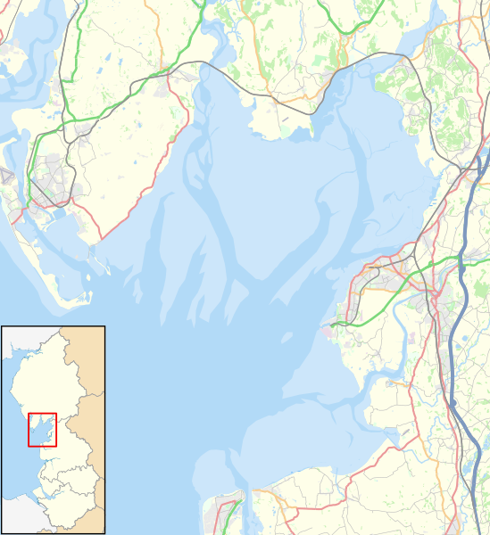
English: Map of Morecambe Bay, in Lancashire and Cumbria, England, in 2021.
Geographic limits:
Other road
Railway
River
Woodland
Built-up area |
| Date | |
| Source |
Ce fichier est dérivé de : North West England districts 2011 map.svg:
|
| Auteur |
|

Conditions d’utilisation
| Ce travail contient des informations issues de OpenStreetMap mises à disposition sous les termes de la Licence Open Database (ODbL).
L'ODbL n'exige aucune licence en particulier pour les cartes produites à partir de données placées sous l'ODbL. Avant le 1er août 2020, les tuiles des cartes produites par la Fondation OpenStreetMap étaient placées sous la licence CC-BY-SA-2.0. Les cartes produites par d'autres personnes peuvent être placées sous des licences différentes. |
- Vous êtes libre :
- de partager – de copier, distribuer et transmettre cette œuvre
- d’adapter – de modifier cette œuvre
- Sous les conditions suivantes :
- paternité – Vous devez donner les informations appropriées concernant l'auteur, fournir un lien vers la licence et indiquer si des modifications ont été faites. Vous pouvez faire cela par tout moyen raisonnable, mais en aucune façon suggérant que l’auteur vous soutient ou approuve l’utilisation que vous en faites.
- partage à l’identique – Si vous modifiez, transformez, ou vous basez sur cette œuvre, vous devez distribuer votre contribution sous la même licence ou une licence compatible avec celle de l’original.
Historique du fichier
Cliquer sur une date et heure pour voir le fichier tel qu'il était à ce moment-là.
| Date et heure | Vignette | Dimensions | Utilisateur | Commentaire | |
|---|---|---|---|---|---|
| actuel | 23 janvier 2021 à 17:46 | | 823 × 899 (6,46 Mio) | Dr Greg | Uploaded a work by *North West England districts 2011 map.svg: Nilfanion, created using Ordnance Survey data *OpenStreetMap: [http://www.openstreetmap.org/copyright OpenStreetMap contributors] *derivative work: Dr Greg from {{Derived from|North West England districts 2011 map.svg|display=50}} * http://www.openstreetmap.org/#map=10/54.0960/-3.0336 accessed 21 January 2020 with UploadWizard |
Utilisation du fichier
La page suivante utilise ce fichier :
Usage global du fichier
Les autres wikis suivants utilisent ce fichier :
- Utilisation sur en.wikipedia.org
- Ulverston
- Heysham
- Morecambe Bay
- Grange-over-Sands
- Fleetwood
- Bolton-le-Sands
- Arnside
- Knott End-on-Sea
- Piel Island
- Islands of Furness
- Chapel Island
- Walney Island
- Sheep Island (England)
- Foulney Island
- Kents Bank
- Silverdale, Lancashire
- Cockerham
- Rampside
- Bardsea
- Aldingham
- Flookburgh
- Pilling
- Cockersand Abbey
- Morecambe
- Baycliff
- Dova Haw
- Headin Haw
- Newbiggin, Furness
- Canal Foot
- Bay Cycle Way
- Cross Bay Walk
- Module:Location map/data/United Kingdom Morecambe Bay
- Module:Location map/data/United Kingdom Morecambe Bay/doc
- Utilisation sur si.wikipedia.org
- Utilisation sur zh.wikipedia.org