Fichier:Leland Michigan aerial view.jpg

Taille de cet aperçu : 800 × 562 pixels. Autres résolutions : 320 × 225 pixels | 640 × 449 pixels | 1 024 × 719 pixels | 1 280 × 899 pixels | 1 500 × 1 053 pixels.
Fichier d’origine (1 500 × 1 053 pixels, taille du fichier : 626 kio, type MIME : image/jpeg)
Ce fichier et sa description proviennent de Wikimedia Commons.
| Description |
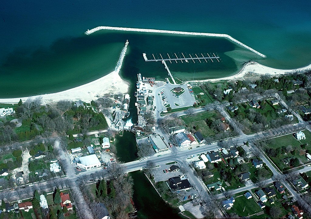
English: Aerial view of the shore and breakwater on Lake Michigan at Leland, Michigan, USA. The U.S. Army Corps of Engineers constructed the harbor and breakwater at the town. |
|||
| Date | not specified or unknown | |||
| Source |
U.S. Army Corps of Engineers Digital Visual Library Image page Image description page Digital Visual Library home page |
|||
| Auteur | U.S. Army Corps of Engineers, photographer not specified or unknown | |||
| Autorisation (Réutilisation de ce fichier) |
|
|||
| Lieu | Leland, Leelanau County, Michigan, USA |
| Lieu de la prise de vue | | Voir cet endroit et d’autres images sur : OpenStreetMap |
|---|
Historique du fichier
Cliquer sur une date et heure pour voir le fichier tel qu'il était à ce moment-là.
| Date et heure | Vignette | Dimensions | Utilisateur | Commentaire | |
|---|---|---|---|---|---|
| actuel | 30 mars 2007 à 01:58 | | 1 500 × 1 053 (626 kio) | DanMS | {{Information | Description = {{en|Aerial view of the shore and breakwater on Lake Michigan at Leland, Michigan, USA. The U.S. Army Corps of Engineers constructed the harbor and breakwater at the town.}} | Source = U.S. Army Corps of Engineers |
Utilisation du fichier
La page suivante utilise ce fichier :
Usage global du fichier
Les autres wikis suivants utilisent ce fichier :
- Utilisation sur azb.wikipedia.org
- Utilisation sur ceb.wikipedia.org
- Utilisation sur cy.wikipedia.org
- Utilisation sur en.wikipedia.org
- Utilisation sur en.wikivoyage.org
- Utilisation sur es.wikipedia.org
- Utilisation sur fa.wikipedia.org
- Utilisation sur lld.wikipedia.org
- Utilisation sur pl.wikipedia.org
- Utilisation sur ro.wikipedia.org
- Utilisation sur sh.wikipedia.org
- Utilisation sur sr.wikipedia.org
- Utilisation sur tt.wikipedia.org
- Utilisation sur uk.wikipedia.org
- Utilisation sur www.wikidata.org