Fichier:Gray's New Map of the Countries Surrounding the Black Sea Comprising European Turkey, Southern Russia, Asia Minor, Etc. (inset) The Bosphorus and Vicinity. Copyright, 1877, by O.W. Gray & Son.jpg

Taille de cet aperçu : 800 × 465 pixels. Autres résolutions : 320 × 186 pixels | 640 × 372 pixels | 1 024 × 595 pixels | 1 280 × 744 pixels | 2 560 × 1 487 pixels | 11 607 × 6 744 pixels.
Fichier d’origine (11 607 × 6 744 pixels, taille du fichier : 12,62 Mio, type MIME : image/jpeg)
Ce fichier et sa description proviennent de Wikimedia Commons.
_The_Bosphorus_and_Vicinity._Copyright,_1877,_by_O.W._Gray_%26_Son.jpg?uselang=fr)
| Avertissement | Certains navigateurs peuvent avoir des difficultés à afficher cette image à sa résolution complète : elle possède un nombre de pixels singulièrement élevé et peut ne pas se charger correctement ou faire planter votre navigateur. |
|---|
Description
| Description |
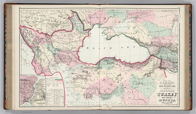
English: * Author: Ormando Willis Gray
|
| Date | |
| Source | Gray's New Map of the Countries Surrounding the Black Sea Comprising European Turkey, Southern Russia, Asia Minor, Etc. (inset) The Bosphorus and Vicinity. Copyright, 1877, by O.W. Gray & Son. - David Rumsey Historical Map Collection |
| Auteur | Ormando Willis Gray |
Conditions d’utilisation
Ce document est dans le domaine public aux États-Unis. Ceci s'applique aux travaux des États-Unis où le copyright a expiré, souvent parce que sa première publication s'est produite avant le 1er janvier 1929. Voir cette page pour davantage d'explication.
|
 | |
 |
Cette image peut ne pas être dans le domaine public en dehors des États-Unis (ceci s'applique particulièrement au Canada, en Chine (pas Hong Kong, Macao, ni Taïwan), en Allemagne ou en Suisse). Le créateur et l'année de la publication sont l'information essentielle et doivent être fournis.
|
Historique du fichier
Cliquer sur une date et heure pour voir le fichier tel qu'il était à ce moment-là.
| Date et heure | Vignette | Dimensions | Utilisateur | Commentaire | |
|---|---|---|---|---|---|
| actuel | 30 septembre 2011 à 04:36 | | 11 607 × 6 744 (12,62 Mio) | Underlying lk |
Utilisation du fichier
La page suivante utilise ce fichier :
Usage global du fichier
Les autres wikis suivants utilisent ce fichier :
- Utilisation sur ar.wikipedia.org
- Utilisation sur arz.wikipedia.org
- Utilisation sur cy.wikipedia.org
- Utilisation sur en.wikipedia.org
- Utilisation sur id.wikipedia.org
- Utilisation sur it.wikipedia.org
- Utilisation sur ja.wikipedia.org
- Utilisation sur ms.wikipedia.org
- Utilisation sur pnb.wikipedia.org
- Utilisation sur ro.wikipedia.org
- Utilisation sur ur.wikipedia.org
- Utilisation sur zh.wikipedia.org
_The_Bosphorus_and_Vicinity._Copyright,_1877,_by_O.W._Gray_%26_Son.jpg)