Fichier:Dartmoor National Park UK relief location map.png

Taille de cet aperçu : 610 × 600 pixels. Autres résolutions : 244 × 240 pixels | 488 × 480 pixels | 781 × 768 pixels | 1 042 × 1 024 pixels | 2 002 × 1 968 pixels.
Fichier d’origine (2 002 × 1 968 pixels, taille du fichier : 2,46 Mio, type MIME : image/png)
Ce fichier et sa description proviennent de Wikimedia Commons.
| Description |
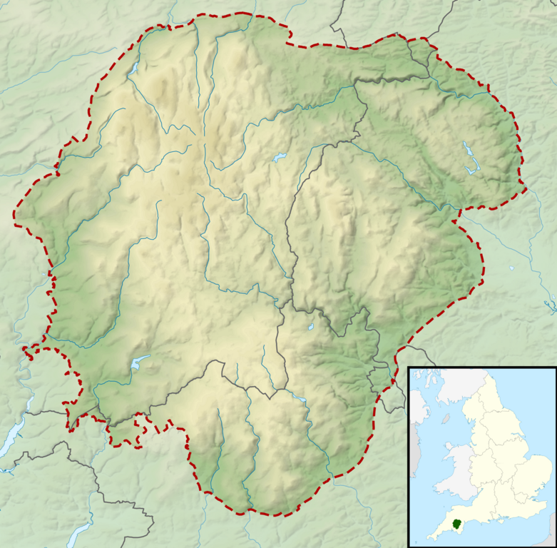
Relief map of the Dartmoor National Park, UK Equirectangular map projection on WGS 84 datum, with N/S stretched 170% Geographic limits:
|
| Date | |
| Source |
Office of National Statistics Geography
|
| Auteur | Nilfanion, created using Ordnance Survey data |
| Autorisation (Réutilisation de ce fichier) |
Ce fichier est disponible selon les termes de la licence Creative Commons Attribution – Partage dans les Mêmes Conditions 3.0 (non transposée). Attribution: Contains Ordnance Survey data © Crown copyright and database right
|
Historique du fichier
Cliquer sur une date et heure pour voir le fichier tel qu'il était à ce moment-là.
| Date et heure | Vignette | Dimensions | Utilisateur | Commentaire | |
|---|---|---|---|---|---|
| actuel | 17 mars 2012 à 12:49 | | 2 002 × 1 968 (2,46 Mio) | Nilfanion | {{Information |Description=Relief map of the Dartmoor National Park, UK Equirectangular map projection on WGS 84 datum, with N/S stretched 170% Geographic limits: *West: 4.18W *East: 3.60W *North: 50.75N *South: 50.37N |Source= [[w:Off... |
Utilisation du fichier
La page suivante utilise ce fichier :
Usage global du fichier
Les autres wikis suivants utilisent ce fichier :
- Utilisation sur ar.wikipedia.org
- Utilisation sur ceb.wikipedia.org
- Utilisation sur en.wikipedia.org
- Butterdon Hill
- High Willhays
- Hound Tor
- Great Mis Tor
- Module:Location map/data/United Kingdom Dartmoor/doc
- Beardown Tors
- Cosdon Hill
- Vixen Tor
- Berra Tor
- Aish Tor
- Chinkwell Tor
- Easdon Tor
- Great Trowlesworthy Tor
- Greator Rocks
- Buckland Beacon
- Bellever Tor
- Pil Tor
- Combestone Tor
- Module:Location map/data/United Kingdom Dartmoor
- Hunter's Tor, Lustleigh Cleave
- Utilisation sur he.wikipedia.org
- Utilisation sur kn.wikipedia.org
- Utilisation sur si.wikipedia.org
- Utilisation sur tr.wikipedia.org
- Utilisation sur uz.wikipedia.org
- Utilisation sur war.wikipedia.org