Fichier:Administrative map of the Liquiçá district of East Timor.png
Taille de cet aperçu : 800 × 396 pixels. Autres résolutions : 320 × 158 pixels | 640 × 317 pixels | 1 024 × 507 pixels | 1 652 × 818 pixels.
Fichier d’origine (1 652 × 818 pixels, taille du fichier : 162 kio, type MIME : image/png)
Ce fichier et sa description proviennent de Wikimedia Commons.
| Description |
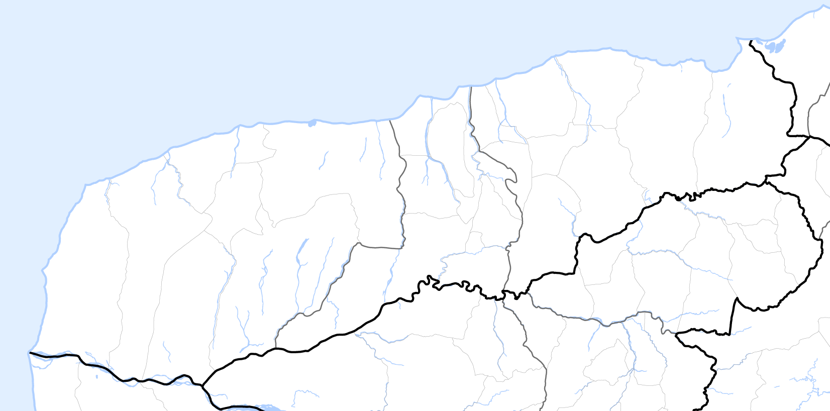
Deutsch: Verwaltungskarte des Distrikts Liquiçá in Osttimor
English: Administrative map of the Liquiçá district of East Timor |
| Date | |
| Source | Self made, using informations from theTimor-Leste GIS Portal |
| Auteur | Maximilian Dörrbecker (Chumwa) |
| Autorisation (Réutilisation de ce fichier) |
Moi, en tant que détenteur des droits d’auteur sur cette œuvre, je la publie sous la licence suivante : Ce fichier est disponible selon les termes de la licence Creative Commons Attribution – Partage dans les Mêmes Conditions 2.5 Générique
Sie dürfen das Bild zu den folgenden Bedingungen nutzen:
|
Historique du fichier
Cliquer sur une date et heure pour voir le fichier tel qu'il était à ce moment-là.
| Date et heure | Vignette | Dimensions | Utilisateur | Commentaire | |
|---|---|---|---|---|---|
| actuel | 19 septembre 2009 à 08:12 | | 1 652 × 818 (162 kio) | Chumwa | {{Information |Description= {{ de }} Verwaltungskarte des Distrikts Liquiçá in Osttimor {{ en }} Administrative map of the Liquiçá district of East Timor |Source=Self made, using informations from the[http://websig.civil.ist.utl.pt/timorgis Timor-Lest |
Utilisation du fichier
Aucune page n’utilise ce fichier.